

Limpopo Department of Agriculture and Rural Development (LDARD) hosted a soil survey and fertility management workshop at Tompi Seleka College of Agriculture
(TSCA).
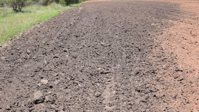
The awareness addressed the importance of managing the soil not only as a natural system and vital contributor to the livelihoods through its contribution to food, water, and biodiversity, but for spatial planning and as part of natural resource management.
Soil is very crucial to livelihoods because it delivers water and nutrients to crops, physically supports plants, helps control pests, determines where rainfall goes after it hits the earth, and protects the quality of drinking water, air, and wildlife habitat.
In his presentation, Adolph Malatji, soil scientist from Department of Agriculture, Land Reform and Rural Development gave an overview about the assessment and identification of soil types, structure, capacity, acidity, drainage, and fertility as part of soil survey. Soil survey comprises of text, maps, and tables. That includes information such as climate of the area, topography, and the geology.
Soil fertility on the other hand encompasses the use of fertilisers, organic inputs, and crop rotation to optimise and sustain the fertility of the soil.
Other method for increasing soil performance is the use of technology. Robert Mohlala from TSCA explained about the use of Garmin Global Positioning System to locate resources and sampling points, taking of soil samples and interpreting the laboratory results, use of field pH/EC meter to determine soil pH and electrical conductivity as well as use of Google Earth Pro for mapping.
There are factors that affect soil fertility. Malatji mentioned that they are soil erosion, soil organic, carbon loss, nutrient imbalance, soil acidification, soil contamination, waterlogging, soil compaction, soil sealing, salinization, and loss of soil biodiversity
The workshop comprising of 30% theory and 70% practical was conducted in both field and laboratory. The workshop adopted an integrated approach incorporating field soil assessment with Google Earth Pro, chemical soil analysis, and interpretation of the results.
The assessment of soil profile using a soil pit and soil augur was demonstrated to participants assigned in groups to share their findings, and further shared on how to take a core sample for bulk density determination.